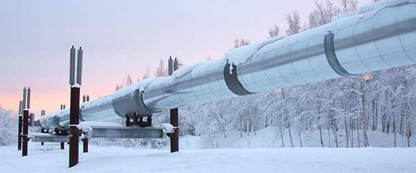


Drones on TAPS
Constant inspection and surveillance of TAPS infrastructure is necessary for flawless, safe operations. But investigating remote stretches and hard-to-reach areas of the 800-mile pipeline and its supporting facilities, sometimes in difficult conditions, can take countless labor hours, and incur high costs and even higher safety risks.
In recent years, a group of visionary thinkers with leading-edge ideas at Alyeska, among TAPS contractors and beyond introduced an emerging technology that made the work safer, more efficient and more accurate: unmanned aircraft systems (UAS) or drones.
Alyeska and TAPS contractors use drones to monitor remote streams and creeks, get closer looks at difficult and dangerous-to-access infrastructure and landscapes, and capture data at new levels of accuracy. What used to be cumbersome work, usually produced in helicopters by numerous surveillance crew members, is now done with relatively small and lightweight drones with a few operators standing safely on the ground.
University of Alaska Fairbanks partnership
University of Alaska Fairbanks is part of the USDOT Unmanned Aircraft System Integration Pilot Program, and Alyeska is a partner organization that tests the use of UAS out of the pilot’s line of sight in the TAPS corridor. Together, we made drone history when we hosted the first beyond visual line of sight flight of an unmanned aircraft system along the TAPS route.

Introducing drones to TAPS
The concept of drone use on TAPS started in 2015 as a group of employee hobbyists were developing their piloting and video skills. They formed an informal committee to examine potential benefits and worked through federal regulations about UAS use by following models used around Alaska by other companies, including BP on the North Slope.
Successes of drone use and their imaging systems were instant and groundbreaking: they provided new perspectives of the visible spectrum, allowing Alyeska to detect and address issues sooner than in the past